Ground Penetrating Radar
Ground Penetrating Radar (GPR) is a valuable tool to support engineering and construction activities. The GPR utilizes high frequency electromagnetic pulses to detect underground utilities, storage tanks, obstructions, and anomalies. It has the inherent ability to detect both metallic and non-metallic objects in contrast to tradition survey technologies. However, it can also be used in conjunction with magnetometer surveys for even more certainty in location.
GPR devices can detect objects below reinforced concrete floors and slabs. GPR has the capability to delineate trenches and excavations and, under some conditions, it may be used to locate contaminant plumes. GPR can also be used to locate voids below roads and runways. The GPR has numerous engineering applications.
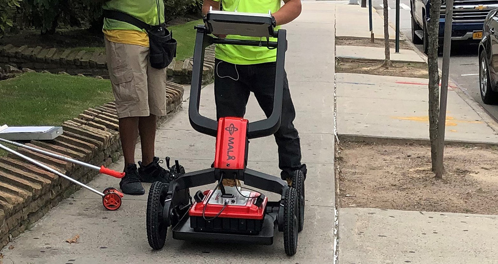
EG&R Engineering offers Ground Penetrating Radar (GPR) services to its utility, substation, and industrial clients. These surveys utilize EG&R’s state of the art Mala HDR GPR system to conduct geophysical surveys. EG&R’s technicians can survey a site and provide field mark outs and capture the data digitally to create detailed CAD maps of a specific site. EG&R utilizes a rough terrain cart so surveys can be carried out in almost any environment.
REPRESENTATIVE PROJECT EXPERIENCE
Geophysical Services, Brooklyn, NY; NYC Department of Environmental Protection/NYC Economic Development Corporation: EG&R performed Ground Penetrating Radar (GPR) survey at nearly 300 bioswale locations to support drilling activities. EG&R provided coordination with several State and City Agencies.
Geophysical Surveys to Contractors (various): EG&R personnel performed GPR survey for utilities mark out/identification of USTs, performed resistivity surveys for grounding studies, designed dewatering, prepared soil management plans, conducted vibration monitoring, and provided soil sampling for waste characterization and disposal.
Geological Mapping and Geologic Structures Evaluations (various locations): EG&R personnel performed regional and large-scale geological mapping in a variety of geologic terrains including igneous, metamorphic, and sedimentary rocks and evaluated the associated geologic structures (joints, faults, and folds). These studies are useful for geologic hazards identification and mitigation.